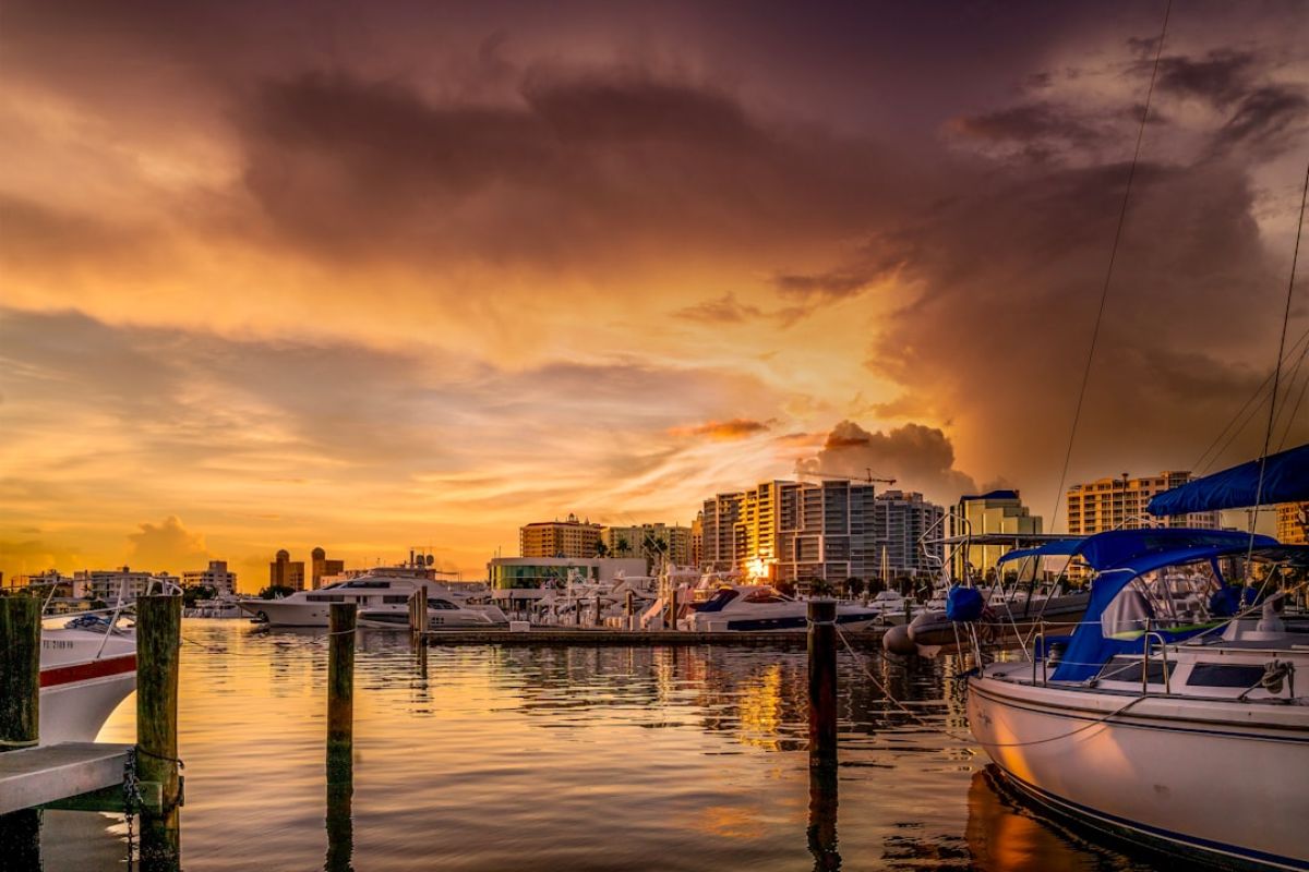
Tropical Trouble Brewing? Invest 91L Eyes Southwest Florida

Invest 91L and Naples, Florida: What We Know, What We Don’t, and How to Prepare
Hey Naples neighbors! Let’s talk about something we’re all too familiar with in Southwest Florida: tropical weather. Specifically, Invest 91L. You’ve probably seen the headlines, the “spaghetti models,” and maybe even felt a little flutter of anxiety. It’s hurricane season, after all. So, let’s break down what we know, what we don’t know, and most importantly, how we can prepare, right here in our beautiful corner of paradise.
What in the World is an “Invest”?
Before we dive into the nitty-gritty, let’s clear up the jargon. “Invest 91L” doesn’t sound particularly menacing, but it’s essentially meteorologist-speak for a weather system that they’re keeping a close eye on. The “L” signifies its location in the Atlantic basin. The “91” is just a number assigned for tracking purposes. An “Invest” isn’t necessarily a tropical storm or hurricane yet, but it has the *potential* to develop into one. Think of it like a promising young baseball player in the minor leagues – it *could* make it to the majors, but it’s got a long way to go.
Decoding the Spaghetti Models: A Naples-Centric View
Now, about those spaghetti models. They look like a chaotic plate of pasta, right? Each strand represents a different computer model’s prediction of the storm’s path. The closer the strands are together, the higher the confidence in the forecast. A wide spread, like we often see early on, means there’s still a lot of uncertainty.
It’s crucial to remember that these models are just *predictions*, not guarantees. They offer a range of possibilities, and focusing on any single strand is like betting on a single horse in a race with a hundred contenders. Instead, we need to look at the overall trend and the cone of uncertainty, which represents the potential range of the storm’s center.
For us in Naples, Marco Island, and the surrounding areas, this means paying close attention to how the cone interacts with the Gulf of Mexico and the Southwest Florida coastline. Even if the center of the storm stays offshore, we can still experience significant impacts like heavy rain, strong winds, and coastal flooding. Remember Irma? Even though the eye made landfall further north, we felt her wrath here in Naples.
The Naples Impact: What to Expect (and What Not to Expect… Yet)
It’s still too early to definitively say what Invest 91L will mean for Naples. However, we can look at historical patterns and the current predictions to get a general idea of the *potential* impacts.
* **Heavy Rainfall:** Tropical systems are notorious for dumping copious amounts of rain, and Southwest Florida is no exception. This can lead to localized flooding, especially in low-lying areas. Remember to check your drainage systems and clear any debris that could obstruct water flow.
* **Strong Winds:** Depending on the storm’s intensity and track, we could experience tropical-storm-force or even hurricane-force winds. Secure loose objects around your property, like patio furniture, grills, and potted plants. Consider bringing them indoors if possible.
* **Storm Surge:** This is a rise in sea level caused by the storm’s winds and low pressure. Coastal areas are particularly vulnerable to storm surge, which can cause significant flooding and erosion. If you live in a flood-prone area, be prepared to evacuate if necessary.
* **Power Outages:** Strong winds and heavy rain can down power lines, leading to widespread outages. Make sure you have flashlights, batteries, and a charged portable power bank. Consider a generator, if feasible, but ensure you operate it safely outdoors.
* **Rip Currents:** Even if the storm stays offshore, it can generate dangerous rip currents along our beaches. Avoid swimming in the ocean until the danger has passed.
Preparing the Naples Way: A Local’s Guide
We’re seasoned veterans when it comes to hurricane season in Naples. But a little refresher never hurts. Here are some essential steps to take:
* **Stay Informed:** Monitor local news, the National Hurricane Center (NHC), and official weather alerts. Don’t rely solely on social media for information.
* **Stock Up on Supplies:** Gather essential items like non-perishable food, bottled water, medications, first-aid supplies, and pet food. Don’t wait until the last minute; grocery store shelves can empty quickly.
* **Create a Communication Plan:** Let family and friends know your plans and how you’ll stay in touch. Establish a meeting point in case you get separated.
* **Protect Your Property:** Bring loose items indoors, trim trees and shrubs that could become projectiles, and board up windows if necessary. Consider impact-resistant windows and doors for long-term protection.
* **Review Your Insurance Policies:** Make sure you understand your coverage and have copies of your policies in a safe place.
* **Know Your Evacuation Zone:** Collier County has designated evacuation zones based on storm surge risk. Know your zone and be prepared to evacuate if ordered.
* **Prepare Your Boat:** If you own a boat, secure it properly or move it to a safe location. Don’t forget to remove any valuables.
* **Check on Your Neighbors:** Especially elderly or vulnerable neighbors, might need assistance with preparations.
Naples Strong: We’ve Got This
Hurricane season is a part of life in Naples. While we can’t control the weather, we *can* control how we prepare. By staying informed, taking proactive steps, and supporting each other, we can weather any storm, literally and figuratively. Let’s stay vigilant, stay safe, and show the world once again what it means to be “Naples Strong.” Remember, we’re all in this together, from Port Royal to Golden Gate Estates and everywhere in between. Keep an eye on those updates, and let’s hope this one stays far, far away from our beautiful slice of paradise.